Seven point four inches, and the channels that carry them
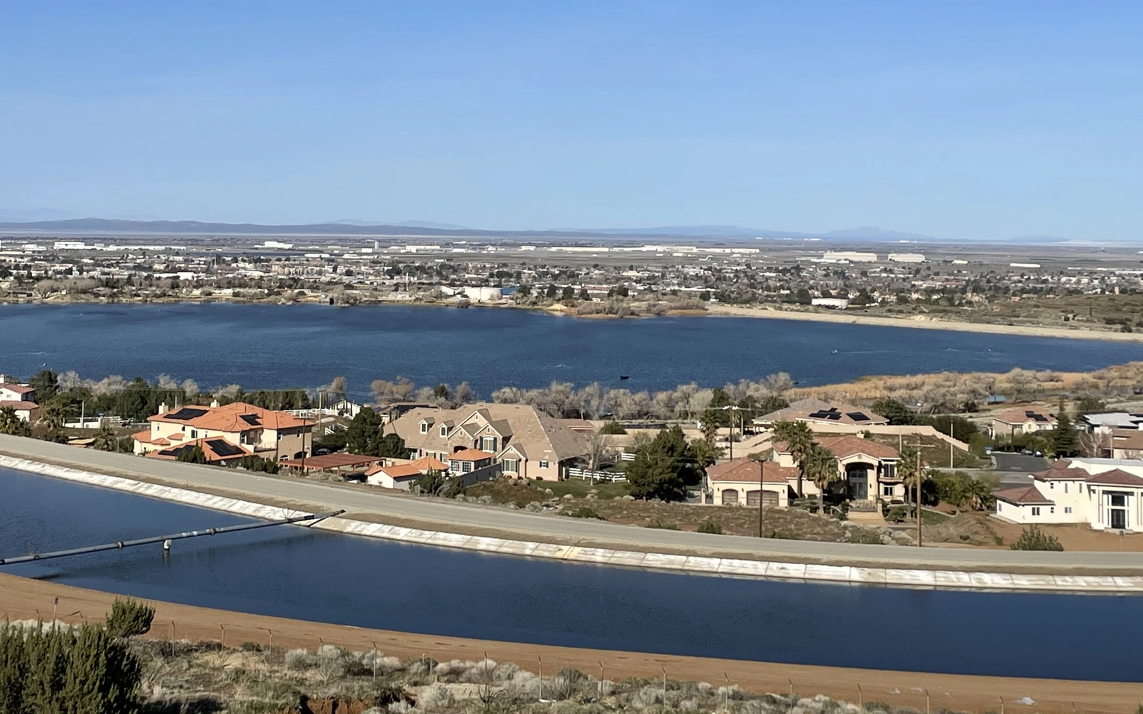
Palmdale is located in northern Los Angeles County, situated in the Antelope Valley region of Southern California, approximately 60-miles driving distance from downtown Los Angeles. That is the plan’s own figure, and it is a driving distance rather than a straight line. City limits cover 68,019 acres, or 106.3 square miles, which the plan says makes it one of the largest cities, in terms of land area, in the United States — a ranking the plan declines to sharpen, and neither does this page. The 2020 Census estimated a population of 169,450 for the City of Palmdale, and collectively the population of Antelope Valley, including the City of Lancaster and surrounding unincorporated communities, exceeds half a million residents.
A valley people crossed long before anyone insured anything
Thousands of years ago, the history chapter records, the Antelope Valley was a major trade route for Native Americans traveling from Arizona and New Mexico to California’s coast. Palmdale became the first community in the Antelope Valley to incorporate, in 1962, with the incorporation of 1,300 acres of land around the present-day civic center. The plan’s Vision Statement — an aspiration rather than a finding of fact — says Palmdale offers affordable living, high quality jobs and educational opportunities in a beautiful high desert setting.
Seven point four inches, and what that figure does not settle
Rainfall in the city is typically sparse, the Safety Element explains, due to its location on the leeward side of the Sierra Pelona and San Gabriel Mountains. The typical amount of rainfall for Palmdale is 7.4 inches per year. Typical is the chapter’s word, and the chapter immediately qualifies the picture: in Palmdale, localized flooding occurs when rainfall is heavy and prolonged, and periods of excessive rainfall can occur during winter storms, from October to March, and in monsoonal thunderstorms during summer months.
The mapped hazard is specific rather than general. Areas with known flood hazards, the chapter says, include the natural drainage channels of Amargosa Creek, Anaverde Creek, Little Rock Wash and Big Rock Wash. Portions of the city beside the first two of them, along the southwestern portion of Palmdale, are classified by FEMA as Zone A, AE, or AO, which the chapter describes as areas subject to inundation by the one-percent-annual-chance flood, the event it also calls a 100-year flood.
The other map over the same ground
A second set of lines crosses the first. Faults in the city include the San Andreas, Nadeau, Cemetery, Little Rock, and Leona Avenue, and all of these are considered active or potentially active. The city’s proximity to the San Andreas Fault makes it susceptible to the highest level of earthquake hazard risk related to ground shaking. It is estimated, the chapter adds, that large and potentially destructive earthquakes occur on the San Andreas Fault about every 130 years.
Two waiting periods that start on different days
Both of those maps describe perils a residential policy leaves out, and each has its own clock. On water, the Department of Insurance sets out an exclusion it says many people may not be aware of: homeowners’ and commercial insurance policies typically exclude flood, mudslide, debris flow, and other similar disasters. Its experts suggest Californians — including those in traditionally low-risk areas — take the time to assess flood risk today and determine whether coverage is needed before the next storm. A federal flood policy will take effect 30 days after it is purchased, except where a federally regulated lender requires it with a mortgage on a house in a designated high-risk area, when it takes effect immediately.
On shaking, homeowners, renters, and condominium insurance policies do not cover damage from natural disasters such as earthquakes, floods, and landslides. A California homeowners insurer must offer to sell earthquake insurance, in writing, every other year. Here the 30 days run from a different event: you have 30 days to accept, the period starts the date the company mails the offer to you, and if you do not reply you are rejecting the offer. Same number, different trigger, and the difference is the whole point of reading both.